
Chapter 2: Categorisation
C2: Rationale
When does a grassland become an ancient grassland? Based on recent working definitions, a grassland becomes 'ancient' when it has been continuously managed as such for between 80 to 170 years. But, how does the botanical assemblage of a grassland change after 80 years? How does the species composition look? At what age do key species start to readily colonise, establish and spread? The second chapter of my PhD aims to understand how the species composition of a traditionally managed hay meadow changes with time so that we may understand which species we can rely on to infer the likely age of a grassland based on the presence, richness and abundance of key 'ancient grassland indicator species'.
The second chapter of my PhD aims to understand how the species composition of a traditionally managed hay meadow changes with time so that we may understand which species we can rely on to infer the likely age of a grassland based on the presence, richness and abundance of key 'ancient grassland indicator species'

C2: Aims
The key aims of this chapter are as follows:
- 1: Understand how the species composition of traditionally managed neutral hay meadows changes over time
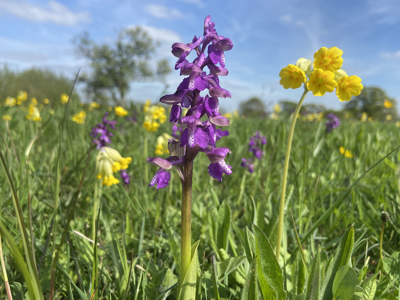
- 2: Identify the ages that AGIS begin to colonise, establish and proliferate at a site
- 3: Understand how typical Ellenberg Indicator Value (EIV) ranges change for a grassland over time
C2: Methods
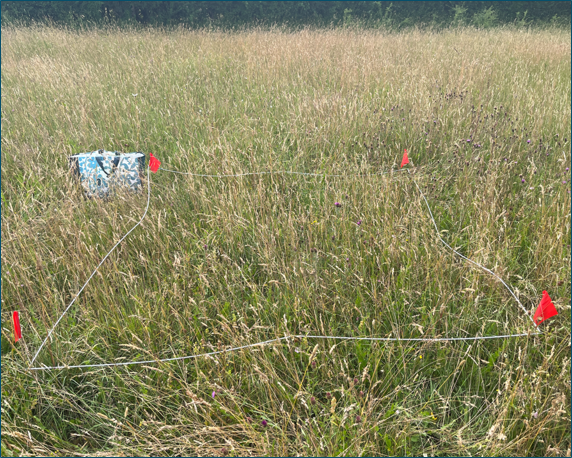
25 traditionally managed lowland neutral grassland sites all located in Worcestershire have been selected for survey. These sites range from 2 to 120+ years since creation / restoration.
At each site, circa ten 2m x 2m quadrats will be placed using stratified random sampling and the percentage cover of each species present will be recorded. This will be done twice for each site, once in the spring (May) and once in the summer (June - July) to ensure species with differing flowering times are captured.
In addition to quadrats, a whole site species list with DAFOR values will be taken to identify species located at site edges, atypical regions and any not picked up during the quadrat survey effort.
The results collected will then be analysed using methods as described in Wagner et al., 2019 to identify both positive and negative indicator species of ancient neutral grasslands.
As a proxy for soil and environmental analysis, we will also look to see how the mean Ellenberg values of grasslands change overtime to understand what changes might be going on below ground which gives rise to changes in botanical composition.
C2: Forecast Results & Uses
It is hoped that the findings of this study will be of use to ecologist for identifying and therefore appropriately protecting ancient grasslands sites. The results of this study, in tandem with the results of Wagner et al., 2019, will collectively provide good resources for identifying ancient calcareous and neutral grasslands. Further study should aim to categorise AGIS of ancient grazed sites and of acid grassland sites.
Results will be published on this website, as a downloadable PDF for use in the field and hopefully as a peer reviewed paper in a relevant journal.