
About Worcestershire's Grasslands
Introduction
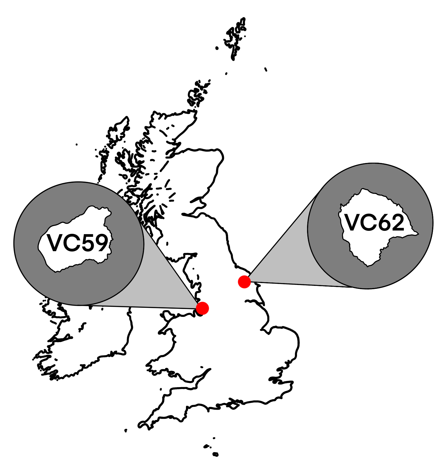
When writing my proposal I'd originally planned on doing a nationwide assessment of ancient neutral grasslands. So, I began to collate a list of candidate ancient grassland sites a quickly realised that a disproportionate amount of the sites I had found were located in Worcestershire. After some digging I quickly discovered ‘The State of Worcestershire’s Grasslands’ report which states that Worcestershire has somewhere between 7.55 - 34% of England’s total lowland meadows (by area), despite Worcestershire only occupying 1.33% of England’s total land area. It should have dawned on me sooner as even the UK BAP Habitat Description of Lowland Meadows states that ‘an especially important concentration’ of lowland hay meadows exists in Worcestershire. It made far much more sense from a scientific and logistical perspective to focus my studies in Worcestershire.
But there is far more than just the high density of lowland hay meadows that makes Worcestershire a particularly good for studying and categorising ancient lowland meadows - Ideally, I would like to study exceptionally good lowland meadows in an area that is representative of England prior to significant loss and degradation of our lowland meadows. Worcestershire is just that and much more.

My Day Job (Sometimes Night)
Working as an ecologists primarily involves surveying sites prior to a proposed development in order to understand the ecological impacts a particular development might have. We identify the potential for a site to support protected species and habitats, we record each species and each habitat we see and we take into consideration the role it plays in the wider landscape. For example, a house to be demolished might have the potential to support roosting bats, or a particular habitat might have the potential to support rare or protected plant species. Rarely do findings prevent a development from being undertaken entirely, usually surveys are undertaken to inform impacts, avoidance measures and subsequent required mitigation and compensation.
Our Limitations
But as ecologists, we cannot protect a habitat or a species unless it has been afforded protection in its own right. Such protections might be:
- International (e.g., Annex I habitats & species),
- National (e.g., species and habitats listed on the Wildlife and Countryside Act), or
- Local (e.g., in local planning policy).
We ecologists are simply an identification tool that present objective findings of what we see and what species we might expect to find at and around any given site. We write it up in a report, stating which elements are protected and justifying their importance - recommending further survey when we cannot be certain.


Using Definitions
We use definitions, descriptions and characteristics to help us identify habitats. For example, ancient woodlands were categorised and defined in the 1980s as ‘An area that has been continuously wooded since 1600AD (or 1750AD in Scotland)’. This lead to the formation of the Ancient Woodland Inventory (AWI) which was brilliant in helping prevent further loss of ancient woodland site to forestry as was common prior to the 80s.
Though not initially used in a legislative manner, the existence of a definition also allowed for the habitat to be considered an irreplaceable natural asset in the National Planning Policy Framework (NPPF) in 2012. In more recent times, the habitat was formally listed as one of several ‘Irreplaceable Habitats’ in The Biodiversity Gain Requirements (Irreplaceable Habitat) Regulations 2024 meaning the loss and / or degradation of this habitat is wholly unacceptable in most planning applications, with few exceptions.
As can be seen, the defining of ancient woodlands has been instrumental in the conservation of this habitat and subsequently the plants, animals, fungi and all other taxa that this habitat is characterised by.
If you do not define a habitat, you cannot identify it.
If you cannot identify a habitat, you cannot protect it.
Using Indicator Species
The defining of ancient woodlands also allowed for the formulation of county specific Ancient Woodland Indicator Species (AGIS) lists - with species such as:
- moschatel (Adoxa moschatellina)
- wood anemone (Anemonoides nemorosa)
- English bluebell (Hyacinthoides non-scripta)
- wild service tree (Sorbus torminalis)
for example, found to be strongly associated with sites that met the definition of an ancient woodland. Ecologists regularly use the diversity and abundance of AGIS to help identify un-mapped ancient woodland sites and thus, protect them from development. There have been numerous occaisions where myself and my colleagues have used these traits to in our line of work to demonstrate to the relevant local planning authority that impacts to a woodland should be avoided.